
One of the most difficult places to perform a search and rescue operation is in a forest.
Helicopters, the best tools for covering large areas in a short period, can’t always see through the dense tree cover.
They are also expensive to operate and may not always be the safest solution in certain types of terrains.
Even drones, which have become invaluable in search & rescue, are not always the best in thickly forested areas.
The biggest problem is the lack of reliable GPS communication.
So search and rescue teams often have no option but to use inefficient on-the-ground methods.
But that could soon change thanks to new drone technology from MIT.
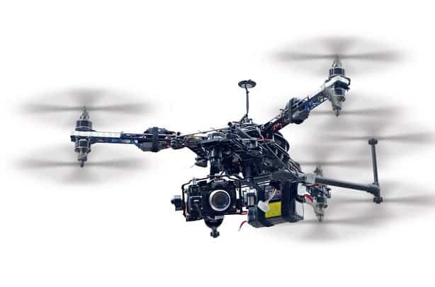
Search and Rescue Drones
MIT has come up with new technology that uses a fleet of drones to coordinate search & rescue efforts in forests and thickly wooded areas.
The technology controls the drones autonomously so there’s no need for controllers on the ground.
This technology solves the GPS issue by not using GPS at all.
Instead, the drones are equipped with a LIDAR system. They use lasers to determine their position and select a search path.
Mapping
Conventional camera drones use cameras for search and rescue. Technicians from the ground monitor a live video feed from the drone.
But that introduces the same issue encountered with GPS navigation. Because of lack of bandwidth, good transmission is problematic or even impossible in thickly forested areas.
What the MIT drones do instead is map the areas they are flying through using SLAM (simultaneous localization and mapping) and input from the LIDAR system.

The drones send out lasers and use the reflected pulses to create a 3D profile of the area. They can identify tree clusters, which helps them navigate without mapping the same area twice.
The generated map is sent to the ground station where technicians join maps from several drones to get a complete picture.
MIT says that drones can be equipped with object identification designed to look out for lost humans.
Once a drone identifies a person, it marks their location on the map for the ground rescue teams to follow.
Faster and More Efficient
The use of LIDAR and SLAM results in faster and more efficient search & rescue.
Traditional drones navigate relatively slowly because they constantly have to stop and change direction.
MIT’s technology directs drones to select a search path without a drastic change in positioning. This results in drones moving quickly in a spiral pattern.
They can maintain a constant velocity while still efficiently mapping an area. This saves precious time, which is crucial for search and rescue operations.
Real Life Applications
For now, MIT has not tested the drones in a real life search and rescue situation.
They’ve only conducted tests in a lab and a small forested area at a NASA research facility.
The drones performed well in important areas such as speed, object detection and mapping.
While it’s likely that the technology would successfully scale to large forests, there are several real life challenges that they would have to overcome first.
For one, the conditions in a real forest will likely be very different from the small wooded area they used for testing.
I’m assuming it is the one shown in the video above.
The trees are not very close and there isn’t any thick foliage and undergrowth to restrict the drone’s movements and mapping.
Whether the drones can work in any kind of forest remains to be seen.
There’s also the issue of picking out humans through the trees and foliage. MIT says the drones were easily able to map trees.
Humans are much smaller. Even with object detection onboard, the drones might still struggle to pick out a human walking in the bushes or lying on the ground.
But if the technology becomes successful, it will yet be another very useful application of drones.
For now, MIT is working on refining the system and making sure it works well in real life emergency situations.