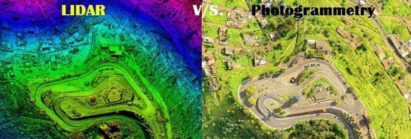
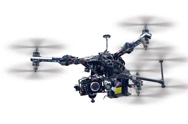
Drones are increasingly being utilized for tasks that were previously performed using manned aircraft such as surveying, mapping, and 3D modeling. The two main technologies used in these areas are LIDAR and photogrammetry. Although both are useful to surveyors, each has its pros and cons. To better analyze the similarities and differences of both these, […]
Note: As an Amazon Associate, I earn from qualifying purchases.